A new report shows that facilities such as AuScope, AURIN and TERN help...
TERN
-
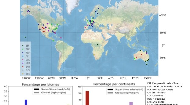
Twelve Australian locations have been included in the CEOS list of satellite calibration/validation...
2026-08-11
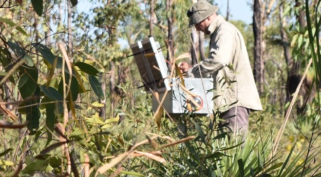
TERN’s Litchfield Savanna SuperSite is helping some of the biggest space missions to...2022-05-11
Predicting future honey harvests with 90% accuracy using remote sensing and weather data.2021-01-27
ADVERTISEMENTNew slga package gives users access to fine resolution national landscape and soil...2019-03-27
AusPlotsR allows you to extract, prepare, visualise and analyse live data from over...2019-02-13
The Australian science infrastructure helping to calibrate and validate heavyweight satellite-derived data products.2018-12-05
Issue #96 of Position magazine re-examines core principles of openness in spatial disciplines...2018-08-22
TERN’s national ecosystem surveillance network now boasts over 625 monitoring sites.2018-06-12
Australia’s ecosystem has been nationally mapped in a consistent manner for the first...2018-03-28
Gold map; desert blowholes; flood photos; evacuate!; Star Wars map; SLAM; smelly city;...2014-12-02
This class will introduce TERN’s data infrastructure and the kinds of ecosystem data...2014-05-13
AEOCG will hold its second ‘whole of community’ meeting this Friday, in webinar...2013-10-15
TERN launched its new Soils to Satellites (S2S) online tool last week.2013-07-02
A smartphone-powered budget satellite; benefits of open data; GLONASS goes further; Nokia opens...2013-02-26
Newsletter
Sign up now to stay up to date about all the news from Spatial Source. You will get a newsletter every week with the latest news.
© 2026 Spatial Source. All Rights Reserved.
Powered by WordPress. Designed by