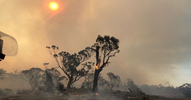
The funding will transform the Bushfire & Natural Hazards CRC into a world-class...
natural hazards
-
New API and web map provides graphical and programmatic access to detailed hazard...
2018-12-11
Disaster management agencies have joined forces to better access and interpret disaster info.2013-12-03
The NSW RFS commissioner is calling on the NSW State Govt. to create...2013-11-05
ADVERTISEMENTEsri Australia has created an interactive map of current fires burning throughout Australia.2013-10-22
Newsletter
Sign up now to stay up to date about all the news from Spatial Source. You will get a newsletter every week with the latest news.
© 2025 Spatial Source. All Rights Reserved.
Powered by WordPress. Designed by ![]()


