MapData Services’ Gary Costa discusses the dataset informing the response to #Covid-19.
featured-post
-
Satellite monitoring of water resources to help provide water security and disaster management.
2020-02-18
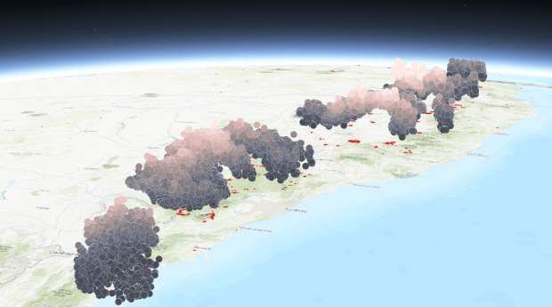
New real-time bushfire mapping technology created in South Australia is being deployed to...2020-02-11
The Bureau of Meteorology is using the map to improve air quality forecasts.2020-02-04
ADVERTISEMENTGeospatial powerhouses GHD Digital and Bentley Systems sign on as major sponsors for...2020-01-15
The spatial industry will play a very important role in the bushfire recovery...2020-01-08
A new ASTM International standard aims to satisfy the growing demand for better...2019-12-17
Green City Watch’s ‘Wildlife corridor mapping for the City of Sydney’ was among...2019-12-10
Thermal imaging and drones are improving the monitoring of mammals on Faure Island.2019-12-03
Organisers say your feedback has helped deliver a more relevant program and exhibition...2019-11-27
DJI has demonstrated a direct drone-to-phone, Wi-Fi based system to remotely identify airborne...2019-11-19
Millions of units of the Myriota module will be built in South Australia...2019-11-13
We look at whether the hype around Australia’s space sector will be a...2019-11-06
We sit down with managing director Glenn Cockerton to better understand Spatial Vision’s...2019-10-29
Europe’s GNSS network begins a fifth day offline after ‘technical incident’ at its...2019-07-16
The six craft of the next-generation atmospheric observation constellation have now deployed.2019-06-26
Professor Michael Milford is recognised for pioneering work.2019-06-19
Textbook-perfect conditions, impeccable experiment design and great implications in the Bay of Plenty.2019-01-24
Newsletter
Sign up now to stay up to date about all the news from Spatial Source. You will get a newsletter every week with the latest news.
© 2025 Spatial Source. All Rights Reserved.
Powered by WordPress. Designed by


