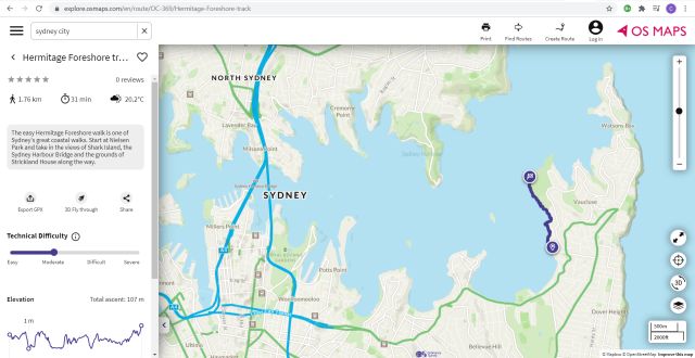
Ordnance Survey is taking Britain’s outdoor mapping app onto Australian terrain.
featured-post
-
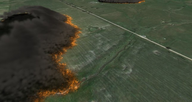
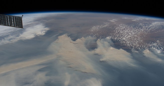
The CSIRO and AFAC are to develop a nationally consistent bushfire modelling and...
2021-02-16
Pinpointing challenges in locating underground assets with augmented reality.2021-02-11
An exclusive Q&A with Chris Sheldrick as what3words goes from strength to strength.2021-02-03
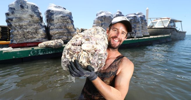
ADVERTISEMENTStrategy to vastly expand coastal ecosystem restoration for widespread benefits.2021-01-13
The region’s leading geospatial event has adopted a new format for Locate21.2020-12-09
Position’s final issue for 2020 reflects on a chaotic year: the challenges, triumphs...2020-12-02
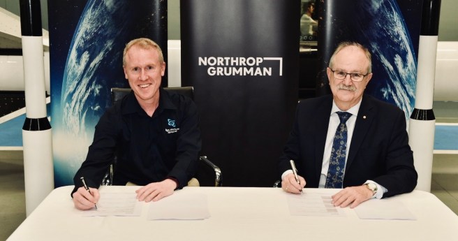
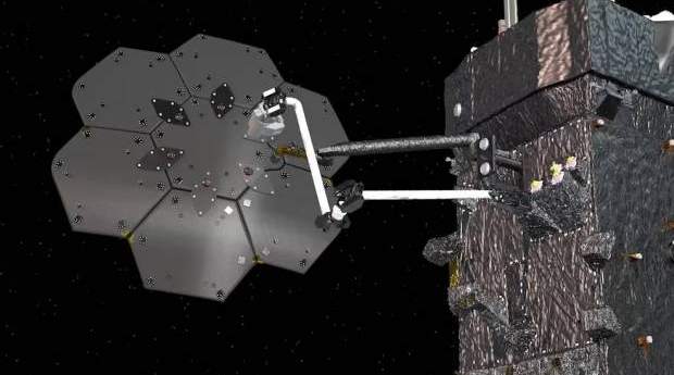
The two firms will develop, trial composite fuel tanks for space travel as...2020-11-25
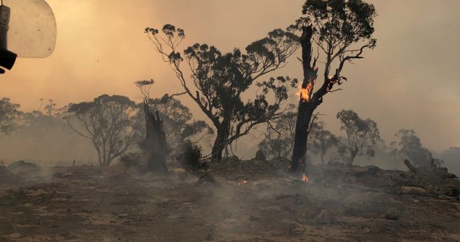
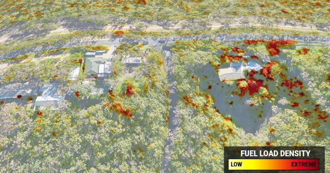
Highly accurate 3D fuel load calculation technology launches for 2020-21 bushfire season.2020-10-27
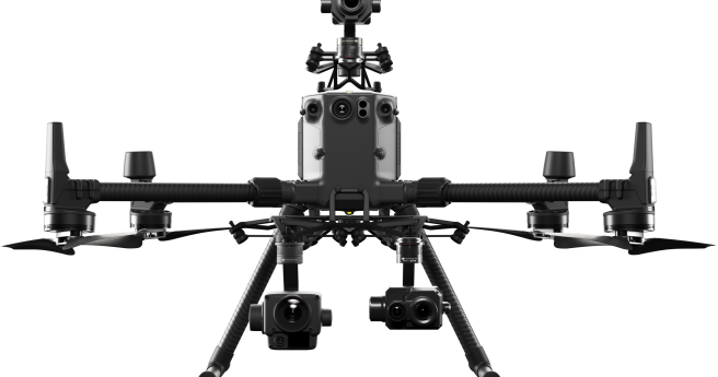
DJI throws down with two heavyweight sensing payloads for geospatial applications.2020-10-21
World first study maps global carbon capture potential from forest regrowth in 1...2020-10-07
Use your skills to help our firies prepare for the 2020 fire season...2020-09-30
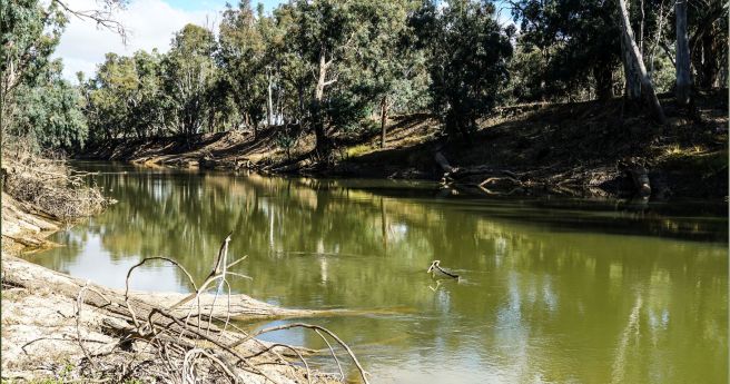
Project to build sensor and satellite network to monitor river health.2020-09-22
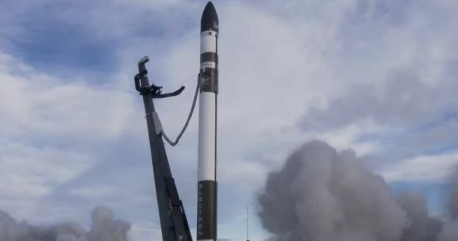
Adelaide-based Space Machines Company to join maiden Eris rocket launch scheduled for 2022.2020-09-09
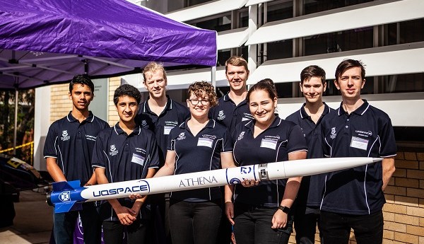
Team will use new launch and test facility in western Queensland in world...2020-09-01
The report urged the establishment of a spatial technology acceleration program.2020-08-26
Register by August 24 and bring your skills to bear on local challenges.2020-08-19
Second-stage burn failure resulted in loss of spacecraft and imaging payloads for Planet...2020-07-07
A deep dive into assessing the accuracy of the AUSPOS post-processing service.2020-05-26
Newsletter
Sign up now to stay up to date about all the news from Spatial Source. You will get a newsletter every week with the latest news.
© 2025 Spatial Source. All Rights Reserved.
Powered by WordPress. Designed by


