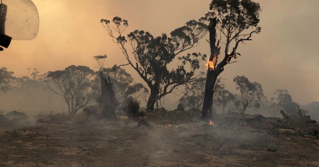
Sensors and satellites drive plan to detect, extinguish blazes within an hour by...
Disaster response
-
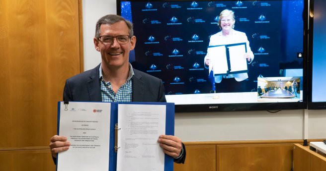
MoU will see the agency help develop the NT’s emerging space capability and...
2020-08-11
The open source map technologies and volunteer movement playing an essential role in...2019-09-25
The system features an airship-based communications platform to direct UAVs and robots.2018-07-09
Newsletter
Sign up now to stay up to date about all the news from Spatial Source. You will get a newsletter every week with the latest news.
© 2025 Spatial Source. All Rights Reserved.
Powered by WordPress. Designed by ![]()


