

Image courtesy Geoscience Australia
Details of the tender for the provision of payload for SouthPAN, including the ability to register interest, are now available on AusTender.
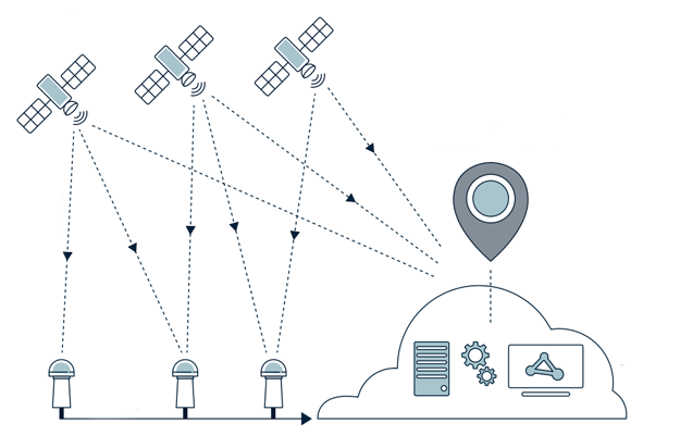
SouthPAN will provide Australians and New Zealanders with world-class access to positioning services that will improve the accuracy from the current five to ten metres, down to ten centimetres on land and sea without the need for mobile or internet coverage.
The Request for Tender seeking a prime contractor for SouthPAN was released in March 2020, and Geoscience Australia is now seeking to separately procure satellite payload services.
The notice posted on AusTender outlines information for industry on a planned upcoming approach to market for SouthPAN. That procurement will include:
- A Satellite Based Augmentation System (SBAS) payload service;
- Ongoing uplink receive and downlink transmission services;
- Ongoing satellite station-keeping services; and
- Ongoing provision of orbital and payload performance data.
The development of SouthPAN is a partnership between Geoscience Australia and Toitū Te Whenua Land Information New Zealand (LINZ) under the Australia New Zealand Science, Research and Innovation Cooperation Agreement.
While there are a number of SBAS deployments operational around the world, SouthPAN will be the first service of its kind in the Southern Hemisphere. It is expected to generate $6 billion in benefits over 30 years.
Stay up to date by getting stories like this delivered to your inbox.
Sign up to receive our free weekly Spatial Source newsletter.


