

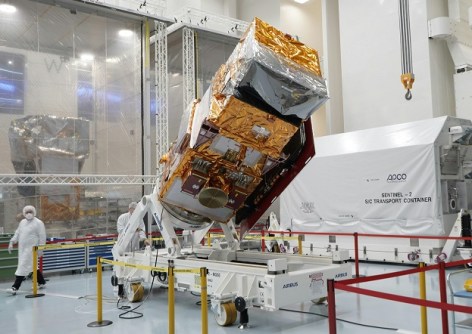
The next satellite in Europe’s Copernicus Sentinel-2 series, Sentinel-2C, has arrived at the European spaceport in French Guiana for processing prior to launch in September.
After being transported by road from the Airbus facilities in Friedrichshafen to the port of Bremen on 2 July, Sentinel-2C was loaded aboard the Canopée, a sail-assisted container ship, for the two-week voyage to French Guiana.
Once launched, Sentinel-2C will replace Sentinel-2A, which was launched in June 2015. It will be followed by Sentinel-2D, which will replace Sentinel-2B (launched in 2017), at a date still to be determined.
“I am extremely proud of the Sentinel-2 team. Their dedication and flexibility allowed us to adapt to the available launcher slots and meet this crucial milestone on time,” said Constantin Mavrocordatos, Sentinel-2 Project Manager at the European Space Agency (ESA).
“Sentinel-2 has been a tremendous success, dedicated to observing land and coastal areas. With Sentinel-2C, and later Sentinel-2D, we will be able to serve the user community and scientists for at least another decade, providing the tools to closely monitor our environment and help decision-makers take informed actions.”

The Sentinel-2 mission is based on having two identical satellites flying in the same 786-km-altitude orbit but 180° apart.
Sentinel-2C carries a high-resolution multispectral imager for generating continuous imagery in 13 spectral bands with resolutions of 10, 20 and 60 m across a swath width of 290 km.


