Photogrammetry with enhanced cloud capabilities

By on 18 March, 2024

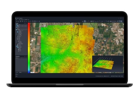
SimActive has announced the enhancement of its Correlator3D high-end photogrammetry suite for improved cloud environment productivity.

Correlator3D is an end-to-end solution for the generation of high-quality geospatial data from satellite and aerial imagery, including drones. It performs aerial triangulation and produces dense digital surface models, digital terrain models, point clouds, orthomosaics, 3D models and vectorised 3D features. Powered by GPU technology and multi-core CPUs, Correlator3D supports the rapid production of large datasets.

SimActive says the enhancements provide faster processing, along with survey-grade accuracy and detailed reports.

You may also like to read:


,


Newsletter

Sign up now to stay up to date about all the news from Spatial Source. You will get a newsletter every week with the latest news.

QGIS WCPS plugin for multidimensional datacubes
The new QGIS WCPS Plugin enables seamless querying and visua...
Seafloor mapping reveals landslide, tsunami risk
Surveying and mapping are providing insights into some of th...
Company behind Pokémon GO splits off spatial arm
Niantic will spin off its geospatial AI arm into a new compa...
Sphere Drones transitions to in-house production
Sphere boosts its local manufacturing capabilities to meet m...
Terria targets the digital twin universe
We speak with the firm’s co-founders to find about more ab...
Desktop, cloud geographic software
Blue Marble Geographics has launched Geographic Calculator 2...