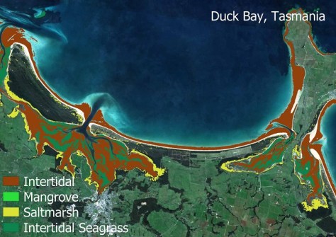
The suite uses Sentinel-2 data to produce 10-metre-resolution maps of four coastal ecosystem types.

Vale: Gladys West, 27 Oct 1930 – 17 January 2026
The geodesy and GNSS world is mourning the loss of Gladys West, one of its pioneers, who passed away on 17 January.
Read moreLatest Geospatial News
View all
ADVERTISEMENT
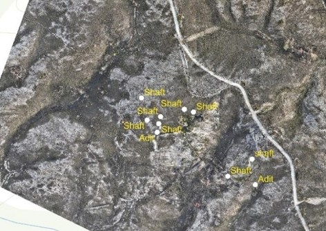
Mineral Resources Tasmania has used drones and photogrammetry to spot hazardous legacy mine features.
 2025-12-19
We hear from the CSIRO’s Dr Alex Held on what it will mean for Australia to Chair CEOS during 2026.
 2025-12-19
Once fully operational in a few months, the two spacecraft will bring the constellation total to 29 satellites.
 2025-12-18
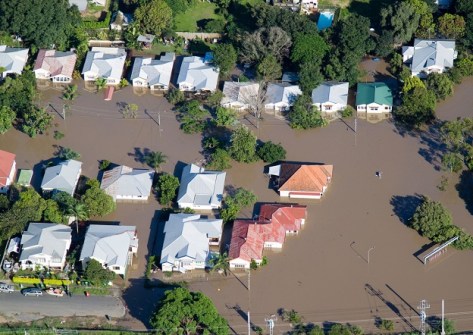
Queensland has announced the termination of the Flood Depth Time Series (Qld Government) Service.
 2025-12-18
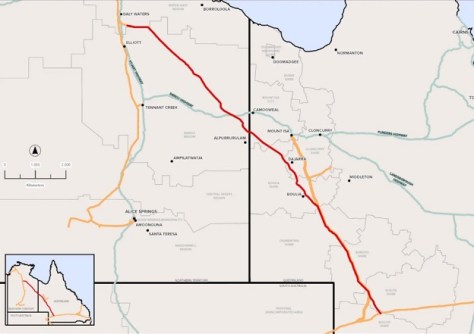
A route for a proposed new gas pipeline spanning the width of the Northern Territory, will be surveyed by APA Group.
 2025-12-18
ADVERTISEMENT
We’re pleased to announce the appointment of Candice Stannard as our new advertising sales manager.
 2025-12-18
This week: More geospatial jobs, BVLOS trial rules, GIS certification, events, and BYDA’s new mobile app.
 2025-12-17
 Events
View All-
Feb 4
PNT 2026 Conference
 Royal Randwick racecourse, Sydney
 -
Feb 17
Geo Week 2026
 Colorado Convention Center, Denver
 -
Mar 4
BYDA Utility Safety Conference 2026
 RACV Club Melbourne
 -
Mar 16
Association of Public Authority Surveyors (APAS) 2026 Conference
 Park Proxi Gibraltar, Bowral, NSW
 -
Mar 22
Hydrospatial 2026 Conference
 Shed 6, Wellington, New Zealand


