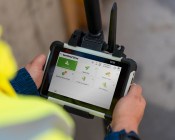
Montreal, Canada, October 7th, 2025 – SimActive Inc., a world-leading developer of photogrammetry software,...

Vale: Gladys West, 27 Oct 1930 – 17 January 2026
The geodesy and GNSS world is mourning the loss of Gladys West, one of its pioneers, who passed away on 17 January.
Read moreLatest Geospatial News
View all
ADVERTISEMENT
The two public sector Earth sciences bodies will merge to become a single entity following a government overhaul.
 2025-05-21
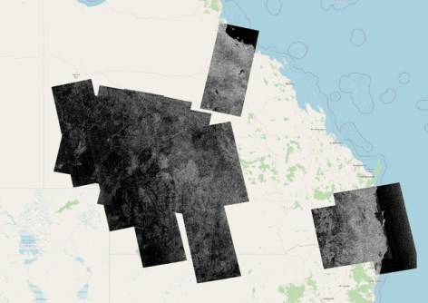
The new platform will provide enhanced capabilities and improved access to NovaSAR-1 data.
 2025-05-21
Space-related businesses are being invited to exhibit in the state trade pavilions at the IAC later this year.
 2025-05-21
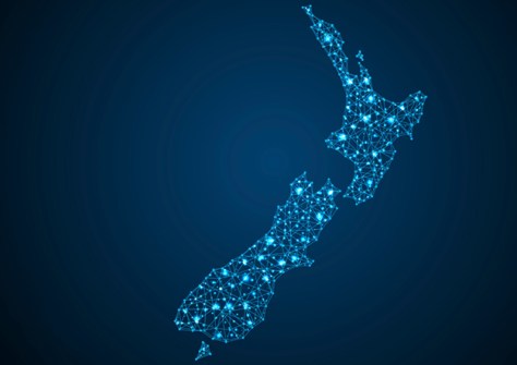
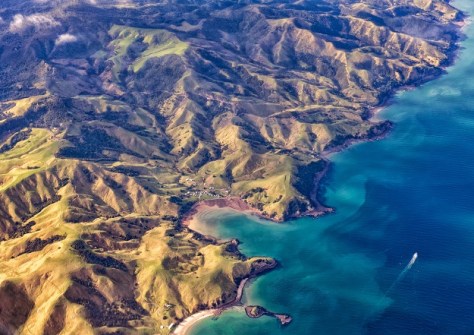
New satellite data shows NZ’s major cities are sinking, mean rising sea levels will affect them sooner.
 2025-05-20
The company aims to reduce Australia's dependence on foreign satellites for observation capabilities.
 2025-05-20
ADVERTISEMENT
Applications are now open for the 2025 S-5B Hydrographic Surveyor and S-8B Marine Geospatial Programs.
 2025-05-20
For a limited time, new members who join the Geospatial Council of Australia will receive six bonus weeks.
 2025-05-20
 Events
View All-
Feb 4
PNT 2026 Conference
 Royal Randwick racecourse, Sydney
 -
Feb 17
Geo Week 2026
 Colorado Convention Center, Denver
 -
Mar 4
BYDA Utility Safety Conference 2026
 RACV Club Melbourne
 -
Mar 16
Association of Public Authority Surveyors (APAS) 2026 Conference
 Park Proxi Gibraltar, Bowral, NSW
 -
Mar 22
Hydrospatial 2026 Conference
 Shed 6, Wellington, New Zealand


