This week: Free GIS training, World GIS Day, job vacancies, and compensation over the sinking of NZ’s survey ship.

Vale: Gladys West, 27 Oct 1930 – 17 January 2026
The geodesy and GNSS world is mourning the loss of Gladys West, one of its pioneers, who passed away on 17 January.
Read moreLatest Geospatial News
View all
ADVERTISEMENT
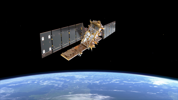
Early images have revealed the dual-band, NASA-ISRO synthetic aperture radar satellite’s imaging strengths.
 2025-11-05
Researchers have mapped the seafloor around the Hunga Volcano in Tonga, which erupted spectacularly in 2022.
 2025-11-04
NOAA’s Flood Inundation Mapping tool provides near-real-time, street-level visualisations of flood waters.
 2025-11-03
The Atlas provides insightful snapshots of the current state of play of the Sustainable Development Goals.
 2025-11-03
The open-source model has mapped emissions from buildings in cities such as Melbourne, using open public data.
 2025-11-03
ADVERTISEMENT
The news that the LOCATE conference will go ahead next year has been greeted with relief across the industry.
 2025-10-31
Enjoy our new weekly compilation of geospatial news bites from across Australia and around the world.
 2025-10-31
 Events
View All-
Feb 4
PNT 2026 Conference
 Royal Randwick racecourse, Sydney
 -
Feb 17
Geo Week 2026
 Colorado Convention Center, Denver
 -
Mar 4
BYDA Utility Safety Conference 2026
 RACV Club Melbourne
 -
Mar 16
Association of Public Authority Surveyors (APAS) 2026 Conference
 Park Proxi Gibraltar, Bowral, NSW
 -
Mar 22
Hydrospatial 2026 Conference
 Shed 6, Wellington, New Zealand


