Image courtesy Ordnance Survey
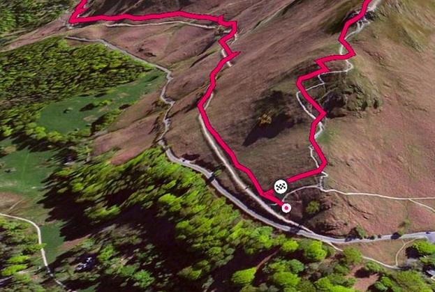
The power of mapping apps has been illustrated by a dramatic boom in the number of jogging routes logged by users of Britain’s Ordnance Survey’s OS Maps app.
In the 12 months from May 2019 to May 2020, just over 139,000 routes had been logged across England, Scotland and Wales.
But in the year from May 2020 to May 2021, during the extensive COVID-induced lockdowns, more than 280,000 new running routes were added.
This takes to 650,000 the number of routes added since the OS Maps app was launched in 2015.
According to Ordnance Survey’s Managing Director for Leisure, Nick Giles, there has been a trend for runners in Britain to explore their local areas.
“OS Maps isn’t designed for competition — it’s designed for exploration,” he said.
“The mapping and routes the app offers helps you find new and better places to explore by running.
“This explains why it did so well in lockdown. As runners’ worlds shrank due to restrictions, they wanted to discover more about beautiful places closer to home.”
The app also includes a feature called AR Viewer, which enables joggers to preview landscapes on the run (no pun intended) to ensure they’re happy with their new route.
Stay up to date by getting stories like this delivered to your inbox.
Sign up to receive our free weekly Spatial Source newsletter.