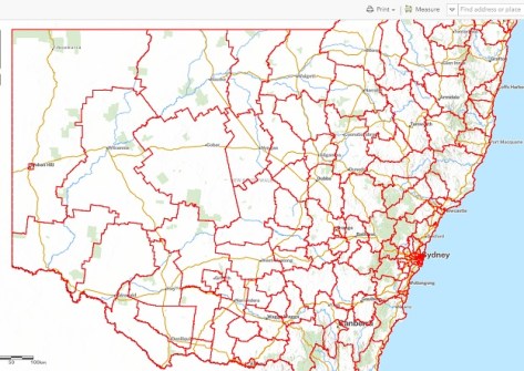
NSW DCS Spatial Services has announced that the newly upgraded Spatial Collaboration Portal is ready for users to experience in its beta version.
The upgrade is intended to provide a more streamlined experience, with access to essential tools and information via an intuitive layout.
According to DCS Spatial Services, the Portal enables “local, state and federal agencies to deliver spatial data, asset management and visualisation services, and enables the search and discovery of datasets”.
The Portal provides or aims to provide:
- A searchable authoritative data catalogue;
- An established NSW Spatial Services product catalogue;
- Advancement toward self service capabilities to all users;
- Increased industry collaboration and sharing of data and services;
- Established high-quality and relevant stakeholder supply chains across government and industry sectors;
- Maintenance of quality and relevant metadata for all authoritative datasets;
- Streamlined data procurement and service delivery for Spatial Services;
- Delivery of a whole-of-government integrated data and services marketplace; and
- An improved data management framework for whole-of-government.
While the Portal is currently in beta, the official launch will take place next month. In the interim, DCS Spatial Services is seeking feedback on the user experience via a short online survey.
In related news, DCS Spatial Services has announced the imminent retirement of its Six Maps service.
Beginning next month, Six Maps’ functions will be taken over by the NSW Spatial Digital Twin (SDT) Explorer, a free spatial visualisation platform designed to provide quick and efficient tools for visualising, validating and interacting with spatial data.
SDT Explorer integrates features from both SIX Maps and the NSW Digital Twin Visualisation Service, offering new tools and capabilities.
SDT Explorer’s offerings include:
- An enhanced 3D environment that includes new 3D features such as line of sight and shadow analysis;
- New data layers and improved data management and export options; and
- Advanced tools such as a comparative slider, an identify tool, and enhanced measurement tools.
According to DCS Spatial Services, most functionalities of SIX Maps and the NSW Digital Twin Visualisation Service will still be available through SDT Explorer.
Services such as SCIMS Online and Clip & Ship will continue to function; they will be accessible via the Spatial Collaboration Portal.


