Image courtesy SGV
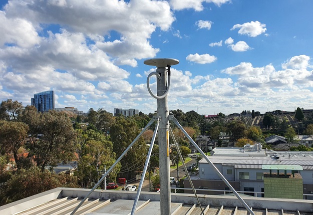
The Surveyor-General Victoria (SGV) Geodesy team has established a permanent GPSnet ground station at Heidelberg to support the North East Link Program (NELP).
The NELP is a major construction project that will comprise new road tunnels as well as upgrades and overhauls of existing roads and freeways in Melbourne’s northern suburbs.
SGV says the new station will help surveyors, and construction and mapping users working on the project.
The new Continuously Operating Reference Station (CORS) ground station will enable users to differentially correct GNSS measurements and obtain centimetre-accurate positioning in real-time.
SGV says that incorporating the ground station in the GPSnet network will provide more accurate and reliable positioning for all precise positioning service users in the area, and specifically those working on the NELP.
The GPSnet team installed the station and had it operational within four weeks.
Located at the Arthur Rylah Institute for Environmental Research, the site will support NELP construction activities over the next five to seven years.
Stay up to date by getting stories like this delivered to your inbox.
Sign up to receive our free weekly Spatial Source newsletter.


