

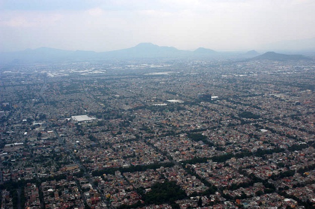
Mexico City is sinking at rates of up to 50 cm per year. Credit: Carlye Calvin.
Researchers have determined that Mexico City is sinking at rates of up to 50 cm per year due to groundwater extraction, with subsidence possibly reaching as much 30 m over the next 150 years.
In newly published research, the scientists, led by E. Chaussard of the Department of Earth Sciences, University of Oregon, had decided to re-evaluate the assumption that “subsidence extent and rates are controlled by groundwater extraction locations and volumes”.
They chose the Mexico City metropolitan area as their test area, and combined stratigraphic, hydrologic, geodetic and demographic datasets covering the city.
“Integration of 115 years of leveling with 24 years of Interferometric Synthetic Aperture Radar (InSAR) and 14 years of GPS data reveals that subsidence rates have been mostly constant in Mexico City since at least 1950 and reach 50 cm/year,” they write in their paper, Over a Century of Sinking in Mexico City: No Hope for Significant Elevation and Storage Capacity Recovery, published in the journal JGR Solid Earth.
“Analysis of InSAR and GPS data shows that no significant elastic deformation exists, demonstrating that the subsidence is almost fully irreversible. In Mexico City, no direct relationships exist between groundwater level fluctuations and subsidence rates or between pumping rates and subsidence rates.
“In contrast, a strong positive linear relationship is isolated between subsidence rates and the thickness of the upper aquitard.”
The researchers predict that “it will take ∼150 years to reach total compaction of the upper aquitard, which may lead to additional subsidence up to 30 m”.
Stay up to date by getting stories like this delivered to your inbox.
Sign up to receive our free weekly Spatial Source newsletter.


