

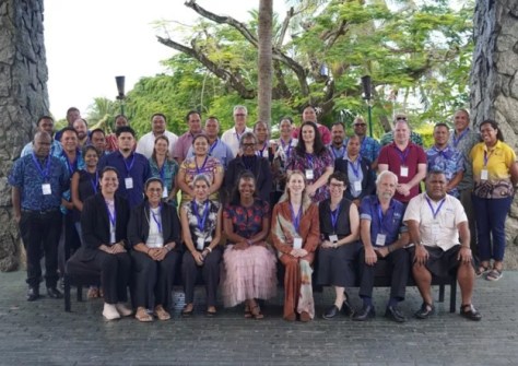
Pacific government representatives have gathered to work out how best to utilise satellite data, such as that from DE Pacific.
The aim of the 6th Digital Earth Pacific Steering Committee meeting in Nadi was to see how Digital Earth Pacific’s (DE Pacific) mounting body of Earth observation data can be made more accessible and fully integrated into national planning, disaster risk management, food security, and environmental decision-making.
The meeting brought together officials from Australia, Cook Islands, Federated States of Micronesia, Fiji, French Polynesia, Guam, Kiribati, Marshall Islands, Republic of the Marshall Islands, New Caledonia, Niue, Northern Mariana Islands, Palau, Papua New Guinea, Samoa, Solomon Islands, Tokelau, Tonga, Tuvalu, and Vanuatu.
Also was the Pacific GIS and Remote Sensing Council (PGRSC), Geoscience Australia, the Group on Earth Observations, Digital Earth Africa, Pacific Geospatial and Surveying Council (PGSC) and SPC’s Digital Earth Pacific team.
Meeting the challenge
DE Pacific is a regional service that processes openly accessible satellite data into products that governments can use for coastal planning, disaster risk management, climate adaptation, land-use planning, and environmental monitoring.
This includes analyses of changing coastlines, flood patterns, mangroves, seagrass, vegetation height, and near-shore water depth.
The three-day meeting reviewed progress from 2025 through DE Pacific’s Monitoring, Evaluation and Learning Framework, which showed that nine regional DE Pacific products are now deployed or scaled.
In addition, more than 220 people were reached through training, and cloud computing support has been secured to sustain operations at scale.
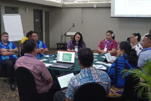
A number of country representatives described how geospatial responsibilities are often distributed across the ministries of land, environment, disaster, fisheries, and infrastructure, creating practical barriers to data sharing and consistent use.
Strengthening national geospatial ecosystems and clarifying the role of PGRSC National Focal Points as in-country connectors emerged as a consistent priority.
Bridging gaps
Mr Paula N.B Cirikiyasawa, Permanent Secretary for Fiji’s Ministry of Lands and Mineral Resources, said the discussions highlighted that technology alone would not deliver impact without stronger national systems.
“Digital Earth Pacific now has credible tools, but their value will ultimately depend on whether they are embedded in the everyday planning, monitoring and reporting processes of Pacific governments,” he said.
Representatives from Digital Earth Australia, Digital Earth Africa, and the Group on Earth Observations shared lessons from their own program, reinforcing that Earth observation delivers the greatest value when it is co-designed with users, clearly documented, and embedded in routine government practice.
Bradley Eichelberger, Chair of the PGRSC Board, said the partnership between PGRSC and DE Pacific would be critical for national uptake.
“PGRSC National Focal Points are the bridge between regional products and national users, and this partnership is key to ensuring Digital Earth Pacific responds directly to country needs,” he said.
Guided by needs
Members also reviewed and prioritised the 2026 Digital Earth Pacific workplan and shaped a joint plan with PGRSC that aligned more closely with country priorities.
Three areas consistently emerged as central to the next phase: operational delivery of products, stronger national uptake, and clearer governance pathways.
Ms Andiswa Mlisa, Program Manager of DE Pacific at SPC, said the program aims to demonstrate the power of Pacific-led Earth observation when guided by country needs and decision-making processes.
“Digital Earth Pacific aims to show what is possible when regional collaboration, technical capability, and country priorities come together, turning satellite data into practical, operational tools that support better decisions for Pacific people and the Blue Pacific Continent,” she said.


