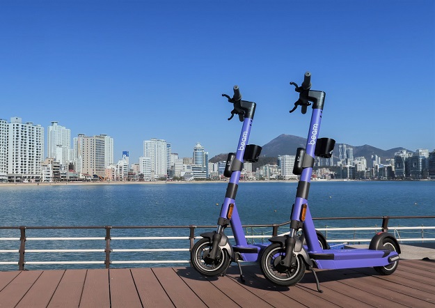
Image courtesy Beam
Industry and community expectations for e-scooter safety is taking the industry beyond GPS technology to more advanced systems to control how the vehicles are used, according to Asia Pacific’s largest shared micromobility provider.
The A/NZ General Manager of Beam, Tom Cooper, says the transition towards e-mobility is demanding higher technological capabilities, particularly as e-scooter density increases in cities.
Cooper will be a key speaker at Australia’s first Micromobility Conference & Expo, to be held on 25–26 November.
E-scooter safety continues to be the subject of scrutiny by public officials. However, Cooper says technology gives providers more control over the e-scooters and their riders than people might think — and it will only increase.
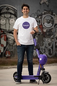
Tom Cooper, A/NZ General Manager of Beam
The technology required for e-scooters to operate on city streets surpasses what is expected from cars, including automatic speed limitations, rule enforcement by shared operators and 24/7 GPS tracking.
While most pavement detection technology relies on positioning such as GPS and detailed mapping of every road and pavement in a city, these solutions are not scalable and are unreliable because roads and pavements are often within a metre of one another.
Cooper says that Beam’s Pedestrian Shield system uses an on-board camera that instantly detects when users are riding on pavements, without the need for precise mapping and perfect positioning.
The Micromobility Conference & Expo 2022 will be held at Sydney’s Royal Randwick Racecourse.
Stay up to date by getting stories like this delivered to your inbox.
Sign up to receive our free weekly Spatial Source newsletter.