

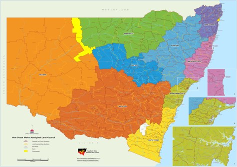
Local Aboriginal Land Councils in NSW now have access to updated GIS information via the GIS Maps function within the New South Wales Aboriginal Land Council’s (NSWALC) Corroborate portal.
The GIS Maps function has replaced the previous GIS Mapping Tool.
According to the NSWALC, GIS Maps is built on the latest technology and offers each LALC across NSW a secure and safe space to explore geospatial data relevant to its interests and responsibilities, such as:
- Land claims, by helping track and map historical and current claims ‘on foot’.
- LALC-owned land within LALC boundaries.
- Zoning, native title and crown land, including tenure and reserves, all in one place.
A user guide (PDF) is available.
GIS Maps and the Corroborate Portal are available to LALCs and can be requested by emailing the NSWALC Land and Property Team.


