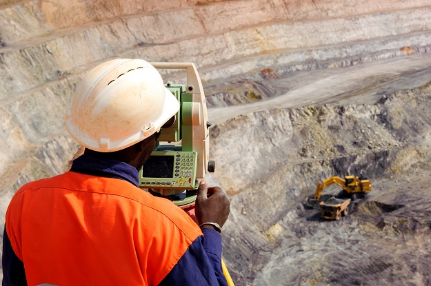
Image credit: ©stock.adobe.com/au/Peter
Due to the COVID-19 situation around the country, the Australian Institute of Mine Surveyors’ National Conference has been postponed until May 2022.
In a circular sent to members, AIMS said that it had to make the decision “for the safety of members and business partners to postpone the upcoming Conference at the RACV Royal Pines Resort. This is unfortunate and extremely disappointing for our Executive team and members but is the best decision for our organisation.”
The new conference dates are 25 to 27 May 2022, with the venue (RACV Royal Pines Gold Coast) and proposed program remaining the same.
Those who have booked accommodation through the organiser, Conference Images, will be contacted and new bookings will be made.
Those who have already registered and paid will be contacted and have their registration transferred over to the new dates. The registrations website remains open for those who have not yet registered.
AIMS says that it is “looking at other opportunities for our members to obtain their CPD points this financial year. We are currently looking at online webinars and regional ‘local’ seminars, where State COVID-19 restrictions will allow it. These will be communicated as soon as we have confirmation.”
Stay up to date by getting stories like this delivered to your inbox.
Sign up to receive our free weekly Spatial Source newsletter.


