IIC Academy has announced that enrolments are now open for the 2025 deliveries of the IBSC-recognised S-5B Hydrographic Surveyor and S-8B Marine Geospatial Programs.
IBSC is the International Board on Standards of Competence for Hydrographic Surveyors and Nautical Cartographers for the FIG, IHO and ICA.
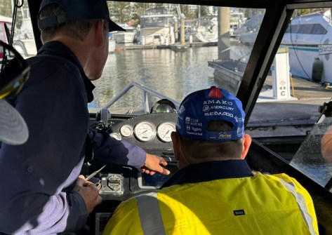
The S-5B Hydrographic Surveyors Program will commence August 2025 and will comprise 15 weeks of theoretical training followed by 7 to 8 weeks of in-person practical and assessment. Students will have up to 31 weeks to complete the theoretical training via online self-paced, instructor-supported learning.
The practical for this program will be delivered in Mount Maunganui, New Zealand commencing May 2026, and also in Europe if student numbers allow. IIC Academy will deliver the phase with its local partners Discovery Marine Limited and Ocean Infinity, as well as Seismic Asia Pacific and QPS / Acoustic Imaging.
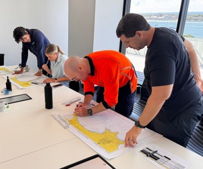
The S-8B Marine Geospatial (Nautical Cartography) program will be delivered as a 22-week Global Delivery, commencing in September 2025 and maximising online learning methods. This program will provide students with the necessary theoretical and practical knowledge and skills required to undertake nautical chart production.
Those interested in taking part in either program or who wish to obtain more information, can email Takhou.law@iictechnologies.com or hydrographicsurveyor@iicacademy.com. Further details can also be found at www.iicacademy.com.