DEA to switch to Sentinel-2C data

By on 28 January, 2025
An artist’s impression of the Sentinel-2C satellite in orbit, with colour bands representing scans of the Earth's surface
An artist’s impression of the Sentinel-2C satellite. Credit: ESA/ATG Medialab.

Geoscience Australia has advised users of Digital Earth Australia that the switch is being made from Sentinel-2A data to Sentinel-2C data.

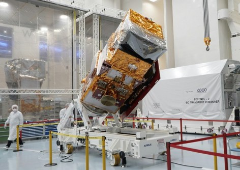
Sentinel-2C was launched into orbit aboard the final Vega-type rocket on 5 September (Australian time) last year, to replace Sentinel-2A, which was launched in June 2015.

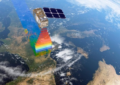
The Sentinel-2 mission is based on having two identical satellites flying in the same 786-km-altitude orbit, but spaced 180° apart.

The Sentinel-2C satellite in a clean room before launch
The Copernicus Sentinel-2C satellite carries a multispectral imager.

The multispectral imager aboard Sentinel-2C generates images in 13 spectral bands at visible, near-infrared and shortwave-infrared wavelengths with resolutions of 10 m, 20 m and 60 m, and a swath width of 290 kilometres.

A Sentinel-2C satellite image of the city of Seville in Spain
An early Sentinel-2C image of Seville, Spain. Contains modified Copernicus Sentinel data (2024), processed by ESA. CC BY-SA 3.0 IGO.

DEA users are advised that the new ga_s2cm_ard_3 product will begin receiving data for both the NRT and definitive offerings over the coming weeks, with a Tech Alert to be issued once the process has been completed. Users will need to change from using DEA’s Sentinel-2A data products to using the equivalent Sentinel-2C data products.

Further details will be made available on the DEA Knowledge Hub: Sentinel 2A Analysis Ready Data product page and DEA Tech Alerts page.

You may also like to read:


, , , ,


Newsletter

Sign up now to stay up to date about all the news from Spatial Source. You will get a newsletter every week with the latest news.

QGIS WCPS plugin for multidimensional datacubes
The new QGIS WCPS Plugin enables seamless querying and visua...
Seafloor mapping reveals landslide, tsunami risk
Surveying and mapping are providing insights into some of th...
Company behind Pokémon GO splits off spatial arm
Niantic will spin off its geospatial AI arm into a new compa...
Sphere Drones transitions to in-house production
Sphere boosts its local manufacturing capabilities to meet m...
Terria targets the digital twin universe
We speak with the firm’s co-founders to find about more ab...
Desktop, cloud geographic software
Blue Marble Geographics has launched Geographic Calculator 2...