

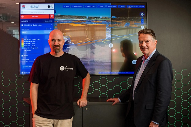
Mats Henrikson, Web Geospatial Systems Group Leader at CSIRO’s Data61, and Bruce Thompson, Executive Director of NSW Spatial Services. Image courtesy Data61.
The NSW Spatial Digital Twin, a project of the NSW Department of Customer Service, has been awarded the Greater Sydney Commission’s Chief Commissioner’s Award.
The Spatial Digital Twin aims to enable the NSW Government and local councils plan for, manage and maintain their assets, map environmental data from new sensor networks in real time, and support planning processes at a local level.
Developed in partnership with CSIRO’s Data61, the digital ecosystem comprises 3D/4D foundation spatial data, a spatial collaboration portal for search and discovery and an open-source visualisation service.
The project has demonstrated new capabilities to connect live data such as transport feeds and integrate architecture, engineering and construction data, including building information models.
It also provides opportunities for new methods of public consultation.
Speaking at the launch of the Spatial Digital Twin last year, Victor Dominello, then NSW Minister for Customer Service and now also NSW Minister for Digital, said that the Digital Twin technology “changes everything”.
“It opens up data to grow the NSW economy. The genius of Digital Twin is that it’s opened and shared, so we can share ideas using this great platform, and when you share ideas, you generate progress, you generate innovation, and you generate the good for the people of our state.”
“You can actually own the future with Digital Twin because you can see it.”
Stay up to date by getting stories like this delivered to your inbox.
Sign up to receive our free weekly Spatial Source newsletter.


