This week: Free GIS training, World GIS Day, job vacancies, and compensation over...
GIS & Data
-
Early images have revealed the dual-band, NASA-ISRO synthetic aperture radar satellite’s imaging strengths.
2025-11-05
NOAA’s Flood Inundation Mapping tool provides near-real-time, street-level visualisations of flood waters.2025-11-03
The Atlas provides insightful snapshots of the current state of play of the...2025-11-03
ADVERTISEMENTThe spatial digital twin project will pull together data sources, cloud services, analytics...2025-10-31
Enjoy our new weekly compilation of geospatial news bites from across Australia and...2025-10-31
Roxane Bandini-Maeder has worked to develop geospatial solutions to combat climate and disaster...2025-10-30
The ICA is helping countries achieve their UN SDG goals by making the...2025-10-30
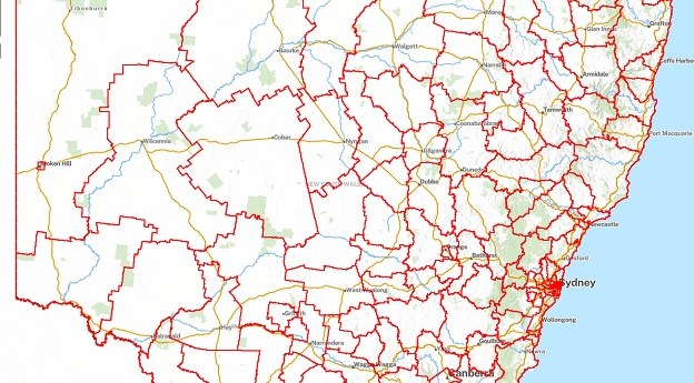
Local Aboriginal Land Councils in NSW now have access to updated GIS tools...2025-10-29
The annual Greater Hobart Bushfire Exposure Index features improved analytics and wider coverage.2025-10-28
New satellite data shows NZ’s major cities are sinking, mean rising sea levels...2025-05-20
The new plan sets the direction for investment and collaboration in a state-wide...2025-05-20
Hear from the program’s leaders and find out how Spatial WA is already...2025-05-13
GIS and remote sensing training is enabling Solomon Islands officials and scientists to...2025-05-13
Mark Briffa has joined the University of Melbourne’s spatial data and land administration...2025-05-12
A new layer in the ArcGIS Living Atlas of the World links to...2025-05-07
Students will be offered internships with the IGNIS project, which is mapping heat...2025-05-07
SmartSAT CRC, industry and academia are using satellite radar and optical data to...2025-05-06
Landchecker has partnered with ICEYE to enhance the former’s historical flood reporting capabilities.2025-04-29
The upgrade is intended to provide a more streamlined experience, with access to...2025-04-29
Newsletter
Sign up now to stay up to date about all the news from Spatial Source. You will get a newsletter every week with the latest news.
© 2025 Spatial Source. All Rights Reserved.
Powered by WordPress. Designed by


