Blue Marble Geographics and Avenza Systems have announced that they have merged.
The new entity will continue to trade under the Blue Marble Geographics brand name.
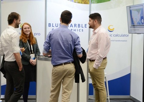
Blue Marble Geographics is well known to the Australian geospatial community and has exhibited regularly at the LOCATE conference.
The combined company brings together the strengths of its constituents, to offer complementary geospatial technologies that connect high-performance spatial analysis in the office with execution in the field.
This includes Global Mapper and Geographic Calculator from Blue Marble Geographics, and Avenza Maps from Avenza Systems.
The combined ecosystem will support a connected geospatial workflow that spans LiDAR and photogrammetric point cloud processing, high-precision coordinate and file transformation, and mobile data distribution and collection.
“The combination of these two companies represents an important step forward for us and for our customers,” said Jeremy Parker, CEO of Blue Marble Geographics.
“We are bringing together technologies that have each delivered strong value independently, and are making investments to unify the products, accelerate innovation, and better support our customers’ operations across complex, real-world environments.”
Connected system
The company also recently announced the appointment of Patrick Stevenson as its Chief Product Officer.
Stevenson brings nearly 20 years of experience in product development and engineering innovation, including at Trimble and Intermap, focused on the AEC, surveying and geospatial markets.
“By uniting the capabilities of Blue Marble Geographics and Avenza Systems, we are now able to accelerate how geospatial workflows connect from the office to the field, helping bridge the digital and physical worlds where geospatial data is created, analysed, and put into action,” said Stevenson.
“Our focus is on enabling these workflows to function as a connected system, making it easier for customers to operate more efficiently and effectively across any environment.”