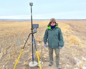
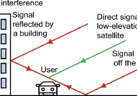
A new method analyses multiple GNSS signal features to accurately identify and differentiate NLOS errors.

Interview: Melissa Harris, CEO, Geoscience Australia
After her first year in Australia’s top geoscience job, we find out what’s on Melissa Harris’ agenda for 2026.
Read moreLatest Geospatial News
View all
ADVERTISEMENT
Leading geospatial experts say the time is right for Australia to develop and strengthen its PNT capabilities.
 2025-01-14
In our annual Leaders Forum, we ask the experts to look ahead into 2025. Today we talk technology with Adam Burke.
 2025-01-13
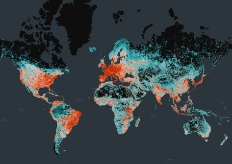
The dataset includes 86 million km of roads worldwide and is already in use with Microsoft, Meta and TomTom.
 2025-01-10
The Australian IoT communications provider will use the funding injection to expand its Adelaide-based workforce.
 2025-01-10
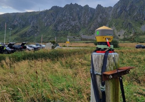
The Jammertest event gave researchers the opportunity to study the effects of interference in a controlled environment.
 2025-01-08
ADVERTISEMENT
Hexagon says the deal will help set new standards for accuracy, resilience and scalability in positioning tech.
 2025-01-08
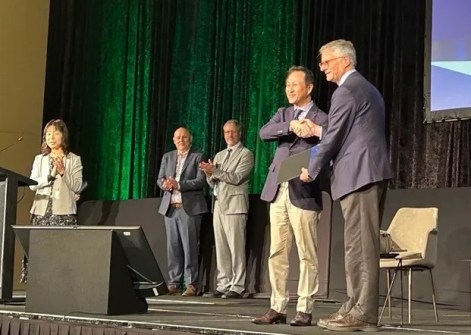
Dr Held has received the Award for Long-term Contributions from the Asia-Pacific Regional Space Agency Forum.
 2025-01-07
 Events
View All-
Mar 4
BYDA Utility Safety Conference 2026
 RACV Club Melbourne
 -
Mar 16
Association of Public Authority Surveyors (APAS) 2026 Conference
 Park Proxi Gibraltar, Bowral, NSW
 -
Mar 22
Hydrospatial 2026 Conference
 Shed 6, Wellington, New Zealand
 -
Mar 31
Geo Connect Asia 2026
 Sands Expo & Convention Centre, Singapore
 -
Apr 1
Digital Twin | BIM World 2026
 Paris, France


