

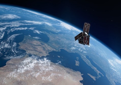
The European Space Agency’s twin Scout-class HydroGNSS satellites have been launched into orbit to measure and monitor global moisture coverage and content using GNSS reflectometry.
The launch took place on 28 November at the Vandenberg Space Force Base in California, using a SpaceX Falcon 9 rocket.
According to ESA, the successful launch of HydroGNSS marks a “significant step in advancing global understanding of water availability and the effects of climate change on Earth’s water cycle”.
The satellites will receive L-band microwave signals directly from GNSS satellites such as GPS and Galileo, and will compare them with the same signals reflected from the ground below.
To do this, each satellite is equipped with a delay doppler mapping receiver that has two antennae: a zenith antenna, which receives the direct GNSS signals, and a nadir antenna, which picks up the Earth-reflected signals and processes them into delay Doppler maps.
Analysing the differences between the signals will provide information about the nature of the Earth’s surface, such as moisture content and vegetation coverage (above-ground biomass).
It will also produce insights for flood prediction and agricultural applications, wetlands health, and the freeze-thaw cycle.
“We now look forward to seeing how HydroGNSS will employ GNSS reflectometry to deliver valuable insights into key hydrological variables that shape Earth’s water cycle,” said Simonetta Cheli, ESA’s Director of Earth Observation Programmes.
Watch the launch video below.


