

Image courtesy CASA
CASA and Airservices Australia are seeking feedback on the trial of digital airspace authorisations for remotely piloted aircraft operator’s certificate holders flying remotely piloted aircraft within 5.5 kilometres of Adelaide, Canberra and Perth airports.
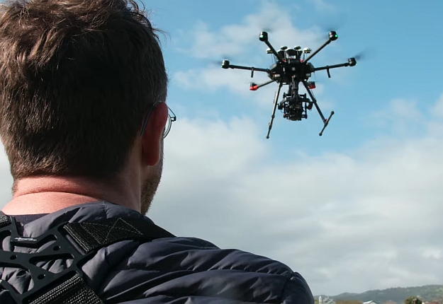
The trial applies to those who hold a remotely piloted aircraft operator’s certificate (ReOC) or operate under one with a remote pilot licence (RePL).
The feedback survey, accessible on the CASA Consultation Hub, can be completed by anyone taking part or intending to take part in the trial. The survey closes Friday, 28 January 2022.
Under the trial, chief remote pilots can apply using a CASA-verified drone safety app to fly near 1 of 3 selected trial sites: Adelaide Airport (YPAD), Canberra Airport (YSCB) or Perth Airport (YPPH).
Participation is free and any authorisations issued will be free of charge, with no limit on the number issued. CASA will automatically approve requests that meet the criteria.
The main requirements are:
- Only organisations that hold an active ReOC can take part in the trial.
- The chief remote pilot must submit the request for flights:
- within 5.5 km (3 nm) of Adelaide (YPAD), Canberra (YSCB) and Perth (YPPH) airports
- for a registered drone with a maximum take-off weight of less than 25 kg
- only during daylight hours
- no longer than one calendar day in duration
- a maximum of 30 days in advance.
Remote pilots operating under the authorised ReOC can carry out the approved flights, provided the remote pilot holds a valid:
- remote pilot licence (RePL)
- aviation radio qualification (such as an aeronautical radio operator certificate).
Further requirements and conditions are outlined on the CASA website.
Stay up to date by getting stories like this delivered to your inbox.
Sign up to receive our free weekly Spatial Source newsletter.


