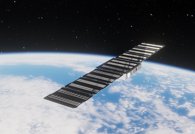
An artist’s impression of one of Fleet Space’s 3D-printed Alpha satellites.
Fleet Space Technologies has unveiled a new strategy, based on the development of a new constellation of 3D-printed smallsats named Alpha.
The first units will be ready for launch in 12 months, and will operate alongside the company’s existing Centauri constellation.
Fleet says the expanded coverage provided by the Alpha constellation will provide latency as low as sub-seconds.
Fleet recently secured a US$26.4 million Series B investment, enabling it to expand the scope of its R&D arm and develop the Alpha satellite.
The satellites will incorporate Fleet’s beamforming technology, based upon an array of multiple 3D printed all-metal antennae along with digital signal processing.
Each satellite will have up to 64 of the antennae on board versus only four in the Centauri 4, representing a 16-fold increase in performance while being only four times heavier.
Fleet says the beamforming technology “provides a substantial increase in throughput of customer IoT data and can service a higher number of customer terminals at once”.
“By bringing together the creation, deployment and service of space technology this is a clear statement of our intent to become a global leader in space technology, and to support Australia’s ambition to lead this critical field,” said Flavia Tata Nardini, Fleet’s CEO and Founder.
You can read an interview with Flavia Tata Nardini in the Dec/Jan issue of Position magazine, due for release within the next week.
Stay up to date by getting stories like this delivered to your inbox.
Sign up to receive our free weekly Spatial Source newsletter.