

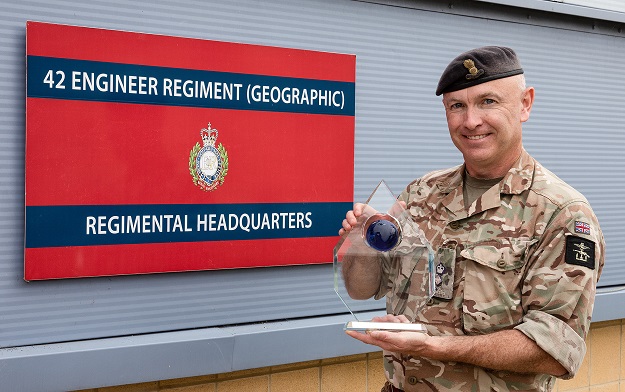
Commanding Officer of 42 Engineer Regiment (Geographic), Lt Col Alex Harris RE, accepting the award. Courtesy Esri.
The British Army’s 42 Engineer Regiment (Geographic) has become the UK recipient of the 2021 Esri Special Achievement in Geographic Information Systems (SAG) award.
The award is in recognition of the creation of a ground-breaking national data platform that provided decision makers and planners with a dynamic common operational picture of all aspects of the COVID-19 crisis in the UK, and delivered geospatial data analysis services throughout the crisis.
The data platform is the first to be created by the UK military for a national civilian crisis. It broke new ground in being capable of overlaying COVID-19 incidence data with NHS infrastructure, hospital bed capacities, population demographics, partner facility locations and available personnel numbers.
The platform connected multiple organisations and gained more than 1,000 users, from the Cabinet Office and Government Departments to the NHS, SAGE, local authorities, first responders and military personnel.
In March 2020, as the crisis triggered an urgent need for collaboration and daily decision making, 42 Engineer Regiment (Geographic) (42ER) was tasked with providing a common operational picture of the fast-evolving national emergency.
42ER drew on its experience using GIS to co-ordinate humanitarian operations and within days created a secure, web-based COVID-19 viewer using Esri’s ArcGIS Online solution.
42ER’s geo intelligence specialists were embedded as advisors within Government and the NHS. Their analysis combined multiple streams of location and time-based data to identify the optimum locations for COVID-19 Testing Centres and the selection and revision of proposed Nightingale hospitals and other care sites.
In tandem, 42ER used Esri’s ArcGIS mobile survey application, Survey 123, to enable the Military Assessment Teams visiting potential Nightingale sites to collect and immediately upload field data, enabling planners to rapidly decide the site’s suitability.
“42 Engineer Regiment (Geographic) is proud to have played a key role in enabling the Government to make faster, well-informed decisions in the battle to protect the NHS and save lives,” said Captain Luke Parker, 42ER support lead.
“The online GIS platform helped lots of different organisations to work together to make the big decisions about how the UK responded to the pandemic”.
Stay up to date by getting stories like this delivered to your inbox.
Sign up to receive our free weekly Spatial Source newsletter.


