

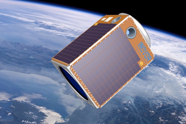
Artist’s impression of the Australis satellite. Courtesy Inovor Technologies.
Australian satellite manufacturer, Inovor Technologies, has announced that it is developing a new 250-kilogram-class satellite, named ‘Australis’, at its facility at Lot Fourteen in South Australia.
In a statement, the company explained that it has “brought forward development of the Australis class to meet Australia’s growing demand for larger, trusted sovereign Australian-owned space technologies”.
“Australia’s defence and science organisations want to be able to conduct a broader range of missions using small satellites, and we can help them do that,” said Inovor Technologies founder and CEO, Dr Matthew Tetlow.
“We’re excited to be building upon the technology we have developed in our Apogee Cubesat bus and, with support from international partners, we will be expanding our capabilities with the Australis range of spacecraft.”
Inovor Technologies is currently servicing satellite missions for the CSIRO (CSIROSat-1), Defence, Science and Technology Group (Buccaneer Main Mission), Defence Innovation Hub (Hyperion), the University of Melbourne (SpIRIT), and the Government of South Australia (currently called SASAT1) with its Apogee bus.
The company was founded in 2012 and employs 48 staff including scientists, engineers and project managers, along with a corporate and finance team.
Stay up to date by getting stories like this delivered to your inbox.
Sign up to receive our free weekly Spatial Source newsletter.


