IoT-based indoor location intelligence platform for Smart Buildings InnerSpace has been awarded a patent by the US Patent Office for its approach to generating maps for indoor navigation. The patent (#10458798B2) titled “Method for Sensing Interior Spaces to Auto-Generate a Navigational Map” protects the company’s unique approach leveraging LiDAR to create maps of indoor spaces.
“The Indoor location market is poised for dramatic growth as public and private sectors recognise its value to operations, safety and revenue,” said InnerSpace CEO James Wu. “We have systematically eliminated the barriers to implementation and scale to ensure indoor location can reach its potential. One of the ways we have done this is to tackle the need for on-demand floor plan creation to keep maps up to date as building interiors change.”
InnerSpace claims to be the most accurate indoor location platform available on the market today. It uses WiFi networks and/or its proprietary sensors to measure how people and things behave within an indoor space. The company says it makes it easy for clients in food & beverage retail, public safety and security, workplace experience, and real estate operations to turn any building Smart. Clients use the InnerSpace platform, which includes analytics, mobile apps, out-of-the-box integrations and API access, to drive meaningful improvements to operations and revenue.
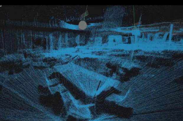
The patent awarded pertains to the InnerSpace Mapping Sensor that leverages LiDAR scanning capabilities to measure distances within an indoor space and create a local point cloud model of the environment that is converted to a 2D floor plan or map.
“One of the biggest impediments to adoption of indoor location has been the manual effort required to create maps, and keep them updated as buildings change,” Mr Wu said. “Leveraging InnerSpace ensures that our clients can reconfigure their spaces at any time and see those changes reflected in their maps, applications and analytics.”


